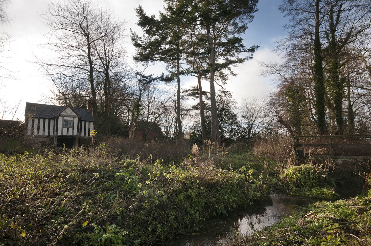
Saint Winifred's Well
Stage 13: Ellesmere to Llanymynech
This section is mostly canal towpath. The canal is still being restored, bringing new life to the heritage waterway which carried limestone from the quarry at Llanymynech.
The path to St. Winifred's Well (shown above) is at SJ321249.
It is possible to divert and visit Oswestry by using Wat's Dyke Path from Measbury Marsh.
You are strongly advised to take an OS map and/or a GPS to walk the route. Please note the digital OS maps will show the new Main Route from January 2019.

![]()
![]()