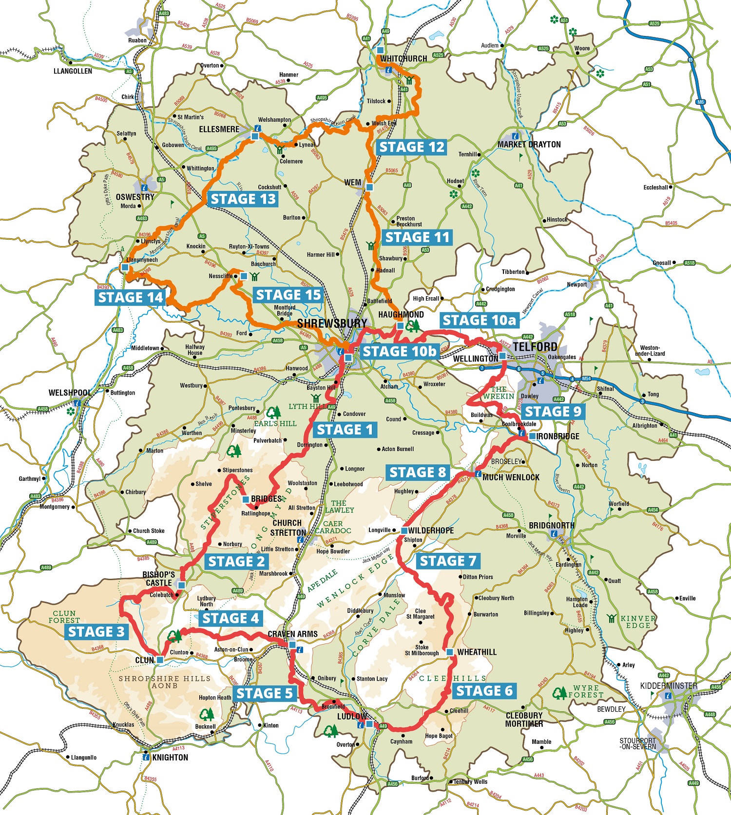
South Route
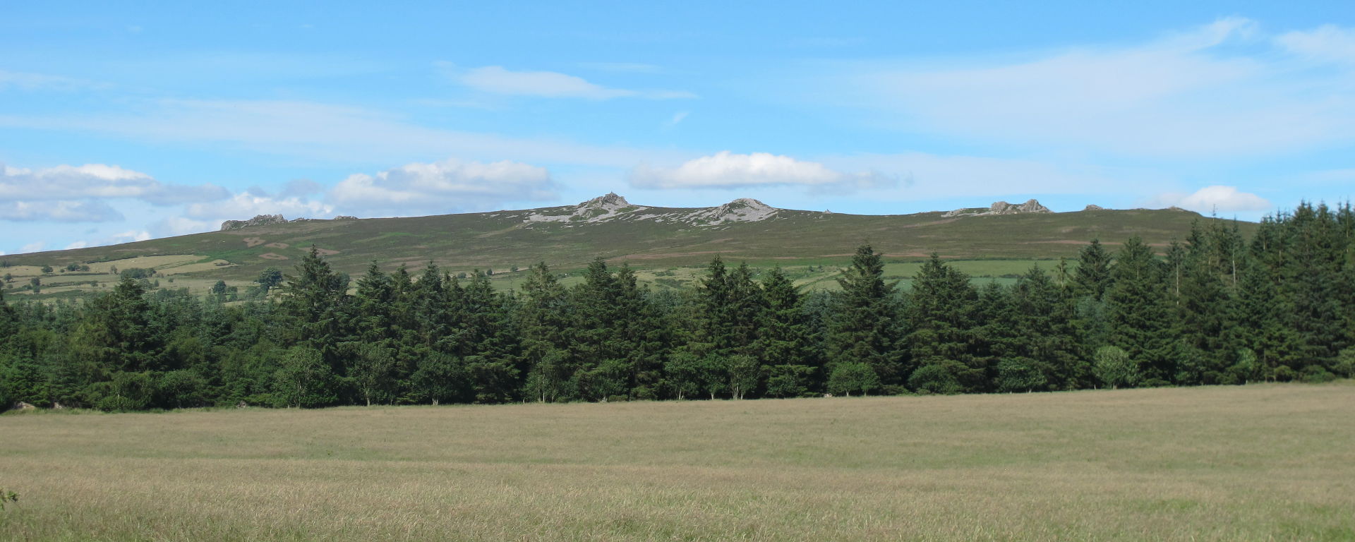
The southern section of the Shropshire Way is a rcircular walk from Shrewsbury traversong the Shropshire Hills across the Stiperstones to the Clee Hills and Wenlock Edge before descending to Ironbridge Gorge. From there it takes you over the Wrekin to Wellington before returning to Shrewsbury via Haughmond Hill.
The walk is divided into stages which most people can accomplish in a day and which end at or near to where accommodation can be found. Click on the links for the stages to reach a page for each one. Here you will find a short description plus download links for a map and a gpx file
The start point from Shrewsbury is Kingsland Bridge. The access from the town is from Town Walls on the north side of the River Severn. After crossing the bridge proceed to Kingsland Road and turn right along Beehive Lane. See map opposite and click to enlarge.


![]()
![]()