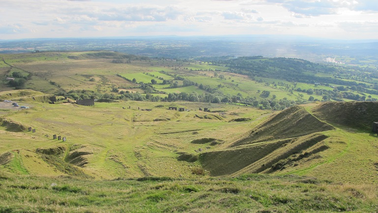
View from Titterstone Clee
Stage 6: Ludlow to Wheathill
From Ludlow you are heading for the highest hills in Shropshire, Titterstone Clee and Brown Clee. You will pass the sites of several ancient forts, old quarry workings and ancient settlements overlooked by today’s radar technology. Wheathill is sparsely populated with little public transport meaning a taxi might be required at the end to link you with your final destination.
The download leaflet will give you a small street map of Ludlow with the route of the Shropshire Way
****Please note: Extra care is needed when walking east from the A49 on the edge of Ludlow along a busy road to Sheet and the turn off to Caynham Camp.
You are strongly advised to take an OS map and/or a GPS to walk the route. Please note the digital OS maps will show the new Main Route from January 2019.

![]()
![]()