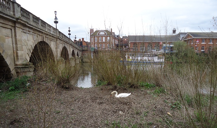
Welsh Bridge Shrewsbury
Stage 15: Nesscliffe to Shrewsbury
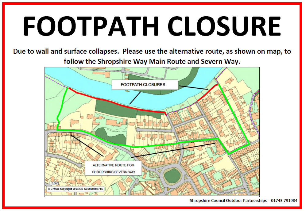
***Minor detour from the river bank approaching Shrewsbury Town centre between Hunter Street and Mount street in Frankwell due to badgers undermining the path.
This will be in place until the end of 2026. Please see diversion map on the right.
This final stage starts with an ascent of Nesscliffe Hill passing through the ramparts of another of Shropshire's ancient hill forts. A recent archeological dig here shows the entrance to the fort through the ramparts. A good view of the Welsh hills can be enjoyed from Oliver's Point at the top.
After the descent a short detour will take you to Kynaston's cave, the home of a Shropshire Highwayman in times past.
Click the link for further information regarding the Archaeological dig at Nesscliffe and tour of Kynaston's Cave http://www.
The route joins the Severn Way for the walk through Montford Bridge and will take you right to the heart of the town whilst remaining on river meadows.
Flood warning after Montford Bridge: During the winter a detour is recommended. From SJ441153 continue on a farm track directly East for 400m to a lane at Bicton Farm. Here turn right to rejoin the Shropshire Way at SJ446152.
You are strongly advised to take an OS map and/or a GPS to walk the route. Please note the digital OS maps will show the new Main Route from January 2019.
Route Details
Distance: 13 miles 21 km
Ascent: 814 feet 248 metres
OS maps: Explorer 240 and 241
Start : Nesscliffe Grid ref. SJ389201
Finish: Kingsland Bridge Grid ref. SJ488121
Terrain: An initial climb followed by a steep descent using sandstone steps. Field paths and a riverside walk back to Shrewsbury
Downloads
Download a leaflet with a description of the walk and a map
Download a .gpx file for use on your GPS device or map software
10/2/24 Diversion ( double click map for pdf)

![]()
![]()